Satellite Imaging and daily earth insights to take action
Planet Data, Cutting-edge Satellite Imagery and Geospatial Insights, empowering businesses and governments with real-time, actionable intelligence to drive innovation and impact.
The Product Offerings
Planet Monitoring
Planet Tasking
Planet Analytics
Planet Hyperspectral
Planetary Variables
Planet Insight Platform
Product Information
This part will briefly explain about product information of iPlanet.
Planet Monitoring
Planet provides continuous global monitoring using its satellite constellation, capturing daily imagery of the entire Earth’s landmass. This allows organizations to monitor areas of interest and track changes over time with high-frequency data collection.
Planet Tasking
Through Planet’s tasking capabilities, users can direct satellites (like SkySat) to capture sub-daily imagery of specific locations. This enables timely and targeted image acquisition based on user needs.
Planet Analytics
Planet Analytics refers to the company’s ability to process vast amounts of satellite imagery and extract actionable insights. These insights help users understand trends, detect changes, and make informed decisions.
Planet Hyperspectral
Advanced imaging technology that captures data across many wavelengths of light. This allows for more detailed analysis of surface materials, vegetation health, water quality, and other environmental factors.
Planetary Variables
This term may refer to the broad range of measurable geospatial and environmental variables that Planet captures and analyzes, such as land cover, vegetation indices, urban development, or climate-related changes.
Planet Insight Platform
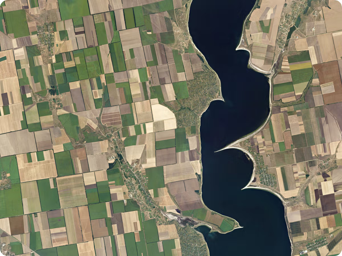
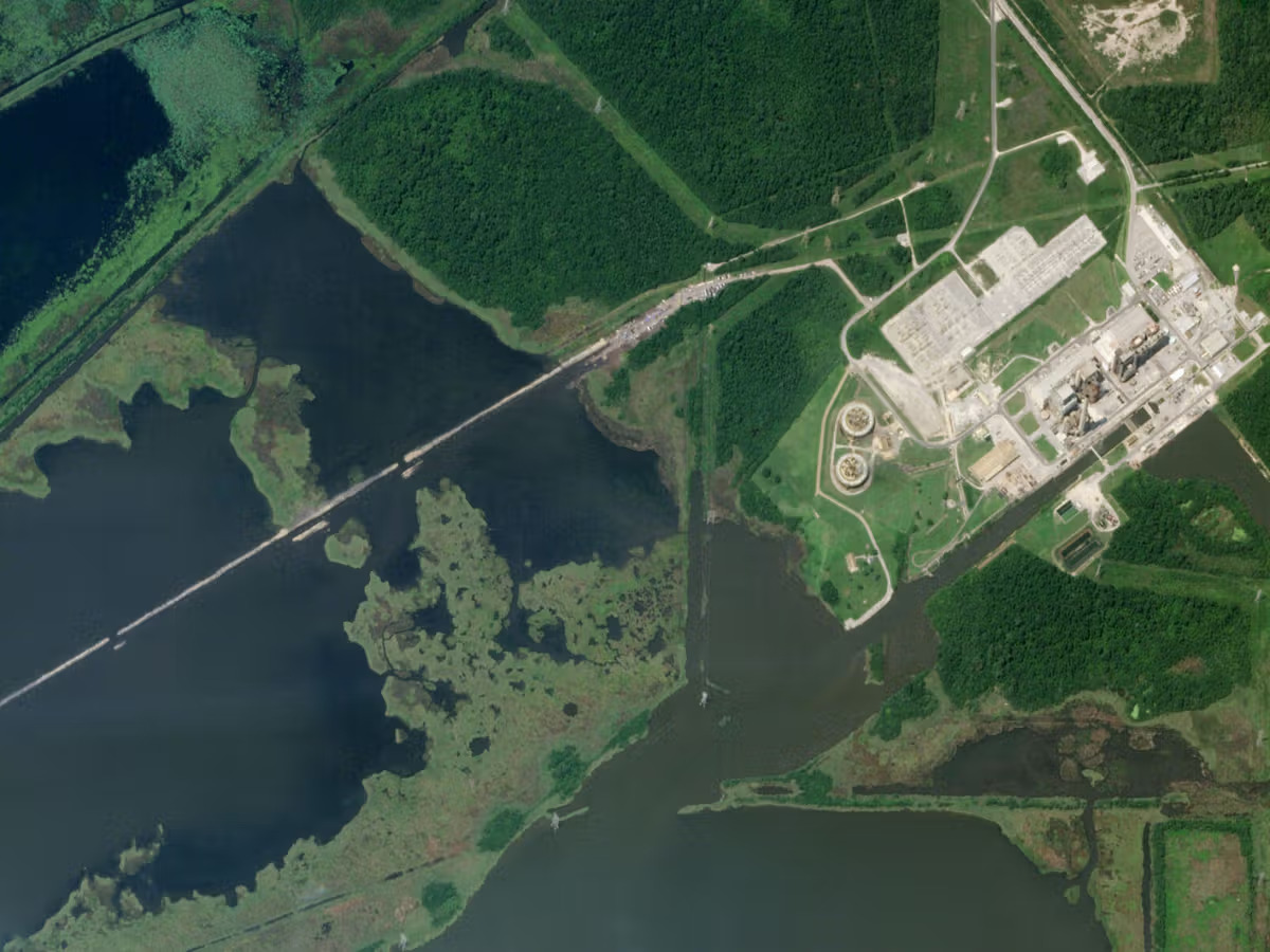
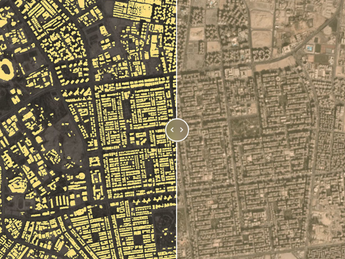
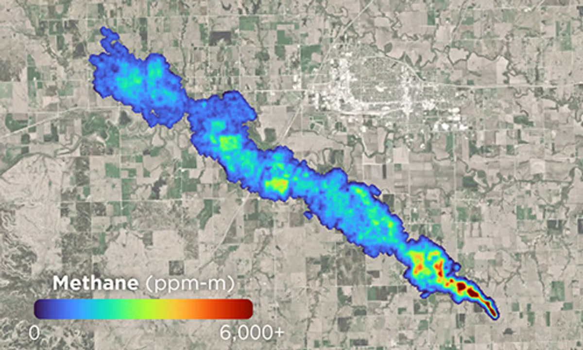
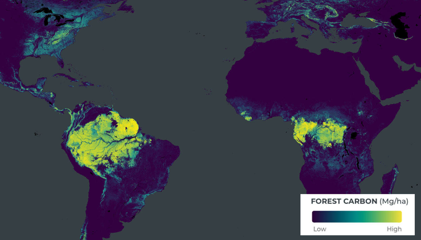
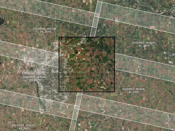
An integrated system that combines best-in-class satellite imagery with analytics tools. It enables users to access, analyze, and derive insights from geospatial data to support decision-making across industries like agriculture, energy, and disaster response.
For demo or presentation regarding Planet Data, please contact us as stated below :
